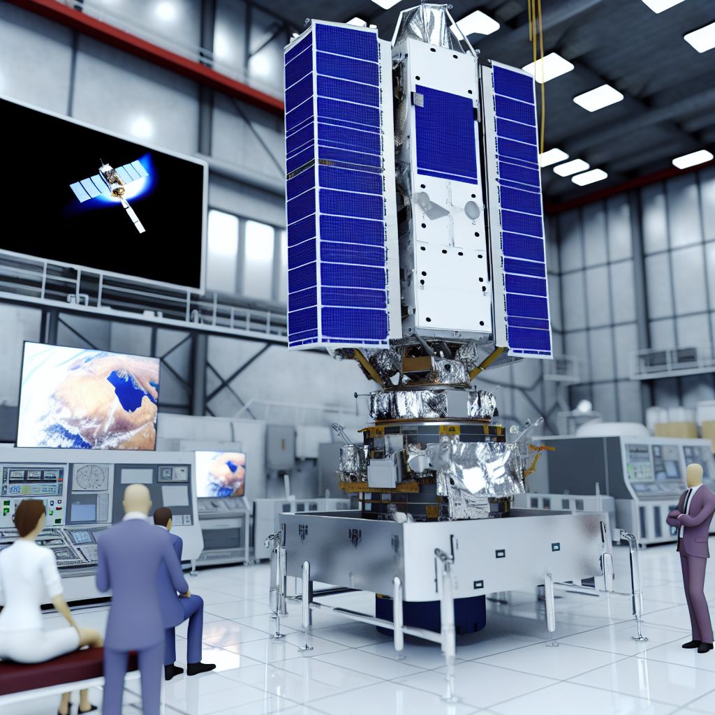
Deutsch: Envisat / Español: Envisat / Português: Envisat / Français: Envisat / Italiano: Envisat
Envisat (Environmental Satellite) in the Space industry context refers to an Earth observation satellite operated by the European Space Agency (ESA). Launched in 2002, Envisat was the largest Earth monitoring satellite ever built at the time and served as a major source of data on Earth's Atmosphere, oceans, land, and ice over a decade.
Description

Envisat carried a suite of ten sophisticated optical and Radar instruments that allowed it to collect data across a wide Spectrum of wavelengths. This large satellite, weighing about 8215 kilograms and measuring 10 meters in length, was designed to provide continuity for the missions of ESA's earlier ERS-1 and ERS-2 satellites, but with significantly enhanced capabilities. It orbited Earth approximately 800 kilometers above the surface, providing vital data for environmental and climatological Research.
Application Areas
Envisat was utilized for various important scientific and operational purposes:
- Climate Change Monitoring: Envisat's instruments monitored the Earth's atmosphere for greenhouse gas concentrations and were used to study aerosols and their effects on the climate.
- Oceanography: It provided data on sea surface Temperature, sea level rise, and Ocean color, insights crucial for understanding global ocean circulation patterns and marine ecosystems.
- Land Monitoring: The satellite helped in Mapping land use, Vegetation cover, and monitoring deforestation and desertification processes.
- Disaster Management: Envisat was instrumental in providing data for natural Disaster Assessment, such as floods, forest fires, and oil spills, enhancing Emergency response and Mitigation efforts.
Well-Known Examples
- Polar Ice Monitoring: Envisat observed changes in the thickness and extent of polar ice sheets and sea ice, providing valuable data for studies of global warming impacts.
- Oil Spill Detection: The satellite's radar was able to detect oil spills in the oceans, helping to Monitor environmental pollution.
- Earthquake and Volcanic Activity Analysis: Envisat monitored land movements related to earthquakes and volcanic activity, contributing to Hazard assessment and mitigation planning.
Treatment and Risks
The Operation and utilization of Envisat involved several challenges:
- Technical Complexity: Managing the vast amounts of data collected by its ten different instruments and ensuring the satellite's health over its operational life.
- Data Management: The processing, archiving, and Distribution of data to users worldwide required robust Infrastructure and Coordination.
- End of Mission: Envisat unexpectedly stopped communicating with Earth in 2012, after doubling its expected operational lifespan. Managing the end-of-life phase of such a large satellite posed significant challenges, including dealing with space debris and the potential risk of Collision in a crowded Orbit.
Similar Terms
- Earth Observation Satellite: Envisat falls within this category of satellites used specifically to monitor Earth’s physical, chemical, and biological systems.
- Remote Sensing Satellite: Envisat used remote sensing technologies to observe and measure various Earth parameters from space.
Summary
Envisat was a cornerstone of Europe's Earth observation programme, significantly contributing to our understanding of the planet's systems and human impact on the Environment. Its legacy continues to influence current and future missions aimed at monitoring Earth’s changing climate and natural phenomena, proving essential in efforts to address global environmental challenges.
--
Related Articles to the term 'Envisat' | |
| 'Sciamachy' | ■■■■■■■ |
| Sciamachy: The SCanning Imaging Absorption spectroMeter for Atmospheric CHartographY (SCIAMACHY) is a . . . Read More | |
| 'Ariane' | ■■■■■■■ |
| In the aerospace context, Ariane is a series of European rockets developed and operated by the European . . . Read More | |
| 'International Space Station' at top500.de | ■■■■■■■ |
| The International Space Station (ISS) is the largest modular space station in low Earth orbit, serving . . . Read More | |
| 'Cassini' | ■■■■■■■ |
| In the aerospace context, Cassini refers to a spacecraft that was launched by NASA, in partnership with . . . Read More | |
| 'Cassini-Huygens' | ■■■■■■■ |
| Cassini-Huygens is a joint NASA and European Space Agency (ESA) spacecraft that was launched in 1997 . . . Read More | |
| 'JUICE' | ■■■■■■■ |
| Deutsch: / Español: JUICE / Português: JUICE / Français: JUICE / Italiano: JUICE JUICE (JUpiter ICy . . . Read More | |
| 'Vega' | ■■■■■■ |
| Vega is the name of a European Space Agency (ESA) launch vehicle. Vega is a small to medium-sized, four-stage . . . Read More | |
| 'SpaceLab' | ■■■■■■ |
| SpaceLab was a program developed by the European Space Agency (ESA) in the 1980s and 1990s to promote . . . Read More | |
| 'Classification' | ■■■■■■ |
| Classification in the Space industry context refers to the process of categorizing and organizing various . . . Read More | |
| 'Earth' | ■■■■■■ |
| The Earth plays a central role in the aerospace industry, as it is the planet where all aerospace vehicles . . . Read More | |
